
ADVANCE THE USAGE OF UNMANNED AERIAL VEHICLES IN BIODIVERSITY CONSERVATION
In today’s era of rapid technological advancement, using unmanned aerial vehicles (UAVs) for monitoring and surveying wildlife has overcome many limitations of traditional methods — especially in dense forest terrains like those found in Vietnam.
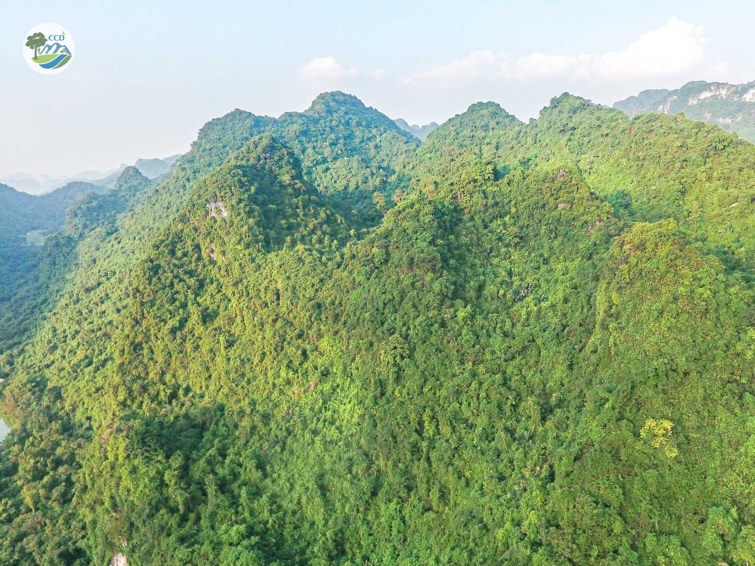
Satellite imagery also plays a vital role, allowing experts to read and analyze topography, vegetation cover, hydrology, boundaries, and more. This helps identify species distribution areas, detect changes over time, and recognize threats — all while visualizing data clearly and effectively. These insights provide valuable scientific evidence for species conservation efforts.
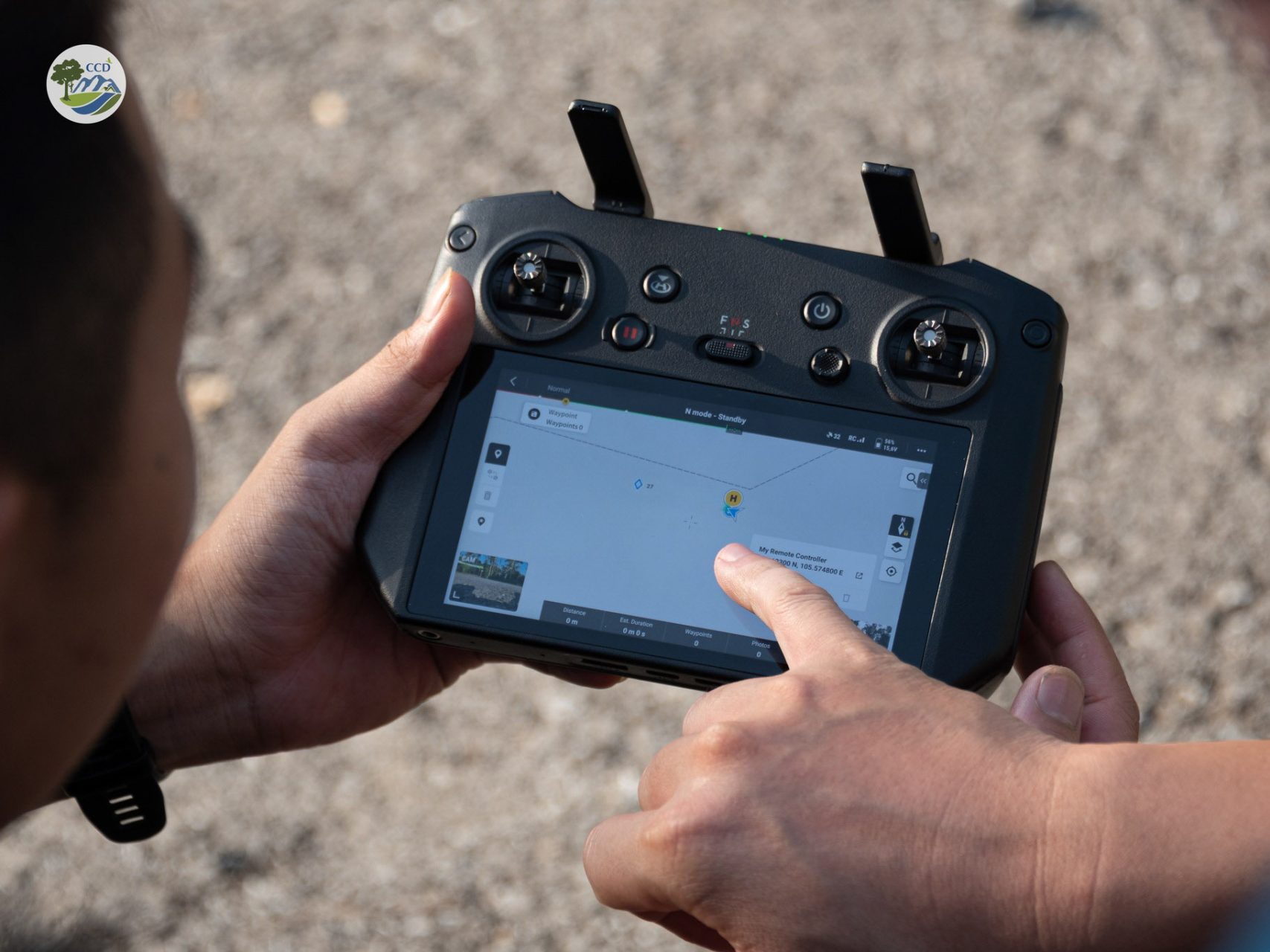
In September, Center for Nature Conservation and Development (CCD) organized an intensive training course on spatial database management and conservation data using Geographic Information System (GIS) software, as well as UAV application in biodiversity monitoring. This hands-on training was supported by Conservation Vietnam, guided by highly experienced instructors.
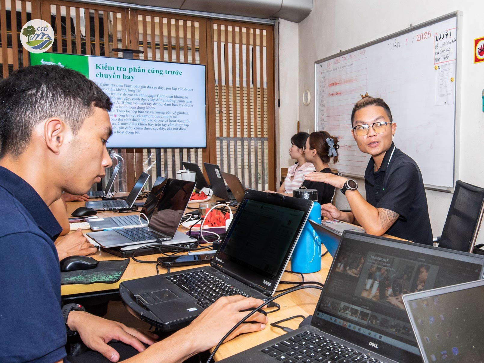
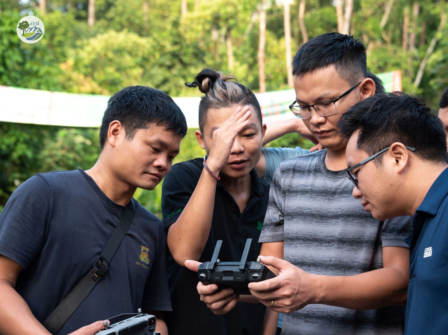
We are committed to applying advanced technologies like GIS and UAVs in biodiversity research and monitoring to enhance both the efficiency and reliability of our work at CCD and with our partners. The scientific evidence we gather not only supports the conservation of rare and endangered species, but also equips environmental educators, managers, and policy-makers with clearer, more accurate data to inform their decisions.